
Page 152 - Historical Study of Yerba Buena Island, Treasure Island and Their Buildings
P. 152
-•-::~·~-~: -··;{; .. _:: .
:-~:t'"=..;,.-===-~
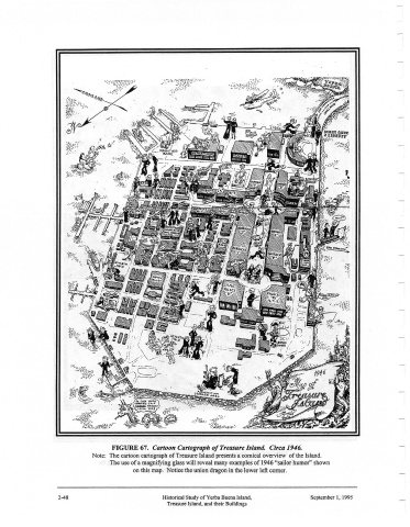
FIGURE 67. Cartoon Cartograph of Treasure Island. Circa 1946.
Note: The cartoon cartograph of Treasure Island presents a comical overview of the Island.
The use of a magnifying glass will reveal many examples of 1946 "sailor humor" shown
on this map. Notice the union dragon in the lower left comer.
2-48 Historical Study ofYerba Buena Island, September I, 1995
Treasure Island, and their Buildings