
Page 151 - Historical Study of Yerba Buena Island, Treasure Island and Their Buildings
P. 151
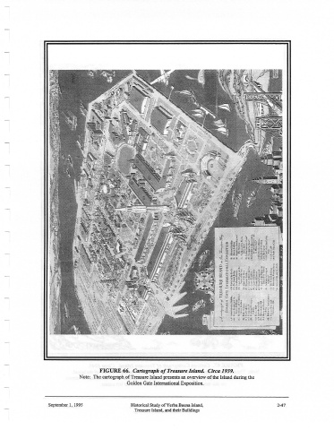
FIGURE 66.  Cartograph of Treasure Island.  Circa 1939.
                              Note:  The cartograph of Treasure Island presents an overview of the Island during the
                                               Golden Gate International Exposition.


                  September 1,  1995            Historical Study ofYerba Buena Island,               2-47
                                                 Treasure Island, and their Buildings